 |
| Map Of Oxbow Park and Preserve |
March 6, 2013
Day Three
Today I started by
having a meeting with Kevin. We discussed questions I had regarding the
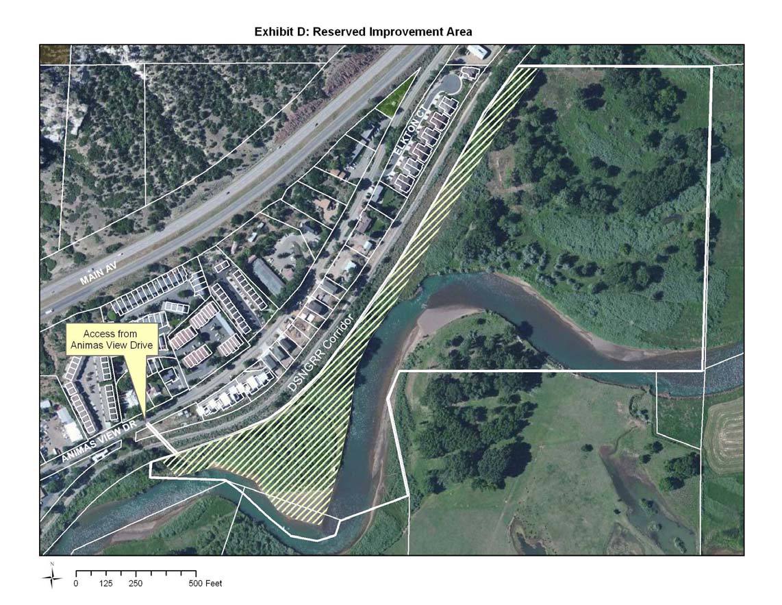
location of the easement and how it could be used. The hatched markings on the
map represent an area that has different restrictions on how it can be
developed and used. Then Kevin described to me how sales tax was initiated by a
need for a Recreation Center and the River Trail in 1999 and how another sales
tax was passed in 2005. Then we talked about the how the Parks and Recreation
Advisory Board and the Natural Lands Advisory Board influence the Cities decisions
and direction. Also I learned that last night after a series of failed attempts
an agreement was made on the name of what was formally known as the Sherman and
Cameron/Sterk parcels, The Oxbow Park and Peserve. This encompasses 43.71 acres
of land on both sides of the railroad tracks and the river.
Tomorrow I am going to work on explaining one aspect of the process in detail
and insuring that how I have organized my steps makes sense and is chronologically
accurate.
Subscribe to:
Post Comments (Atom)
No comments:
Post a Comment